Tracking much needed rain and storms; How much to fall?
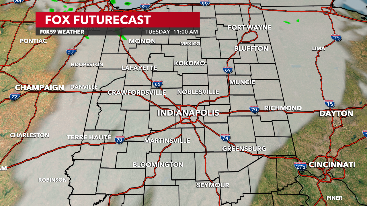
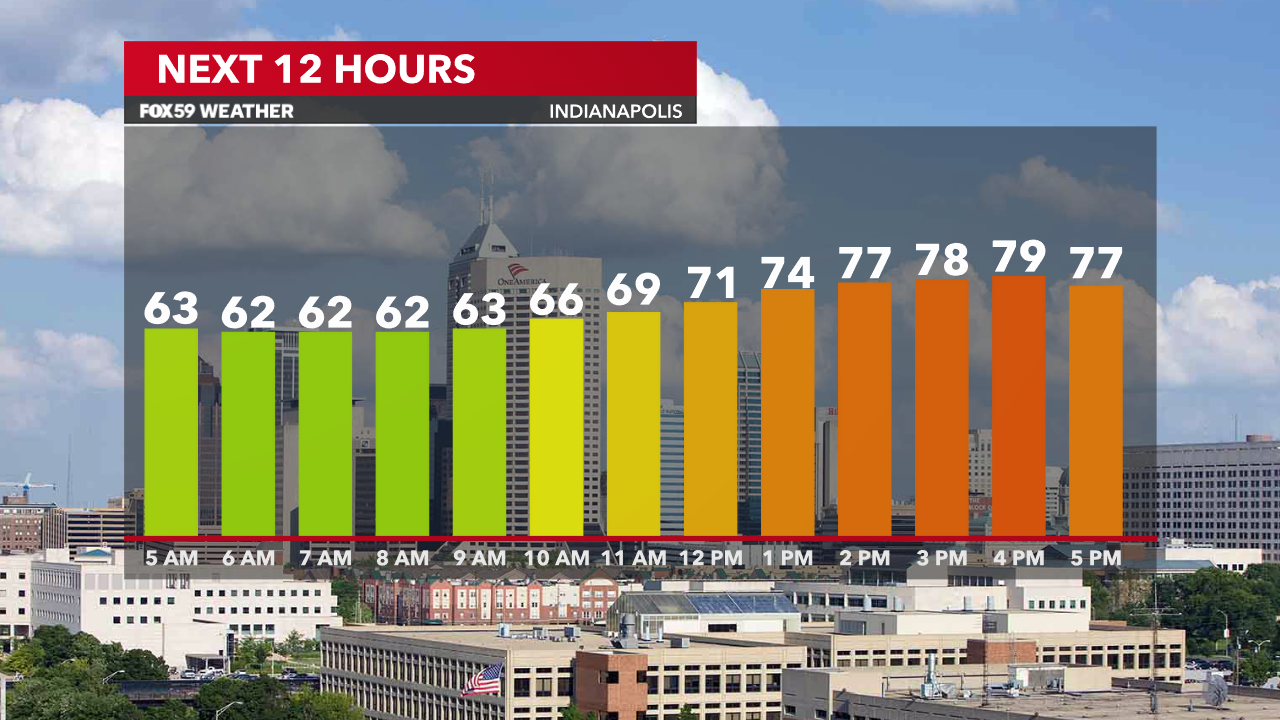
This morning starts dry and mild, if not a bit humid, with higher-than-normal dew points for late September. Expect a dry morning as temperatures hover in the lower 60s. Clouds are increasing but some sunshine will be enjoyed to open your Tuesday.

By this afternoon, clouds will thicken and a few showers will be developing across the state. Rainfall today will be widely scattered and light, so there is plenty of time today to get things done around the state. Temperatures will be warm again, nearing 80°, well above the seasonal average for this time of the year. Winds will remain light and flow in from the southeast at 5-10 mph.
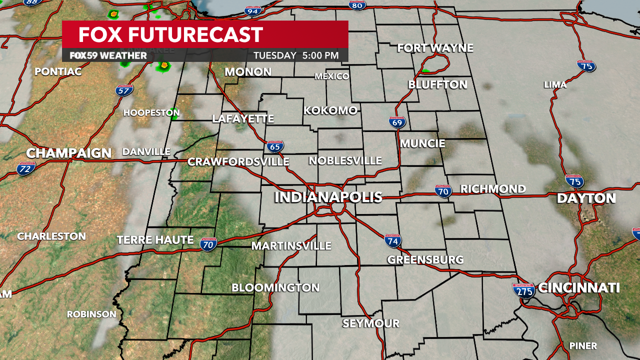
Tonight, shower chances will rise in coverage, as a few storms will be in the mix too. A heavier downpour in spots is likely but coverage remains low across central Indiana, with lows falling into the lower 60s.

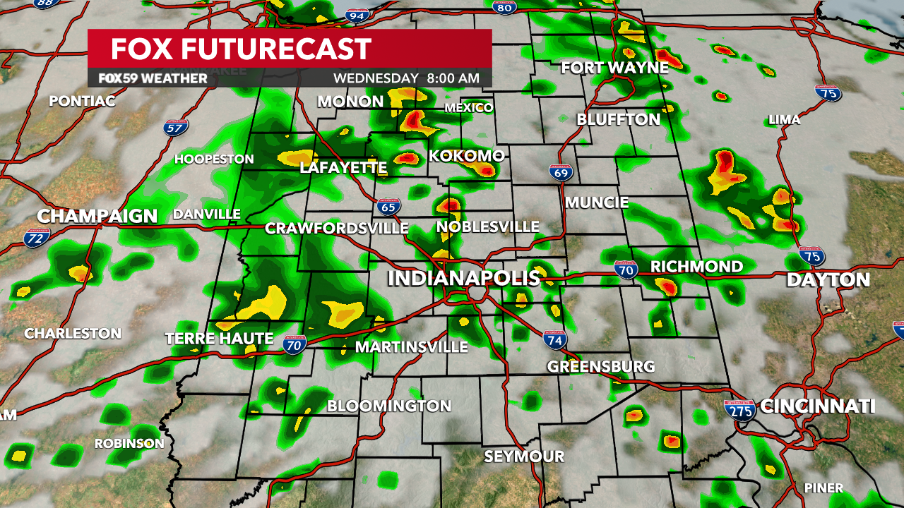
Wednesday will bring our best rain and storm chances in quite some time! Although still scattered, some decent downpours are expected, with a soaking rain in spots, helping to alleviate the moderate drought at least in some spots. Along with the rainfall, a cooler flow will settle in under cloudier skies. Rainfall totals will be tough to gauge but some areas from late today through Thursday could see up to a half inch in spots. Most will see much lesser amounts.
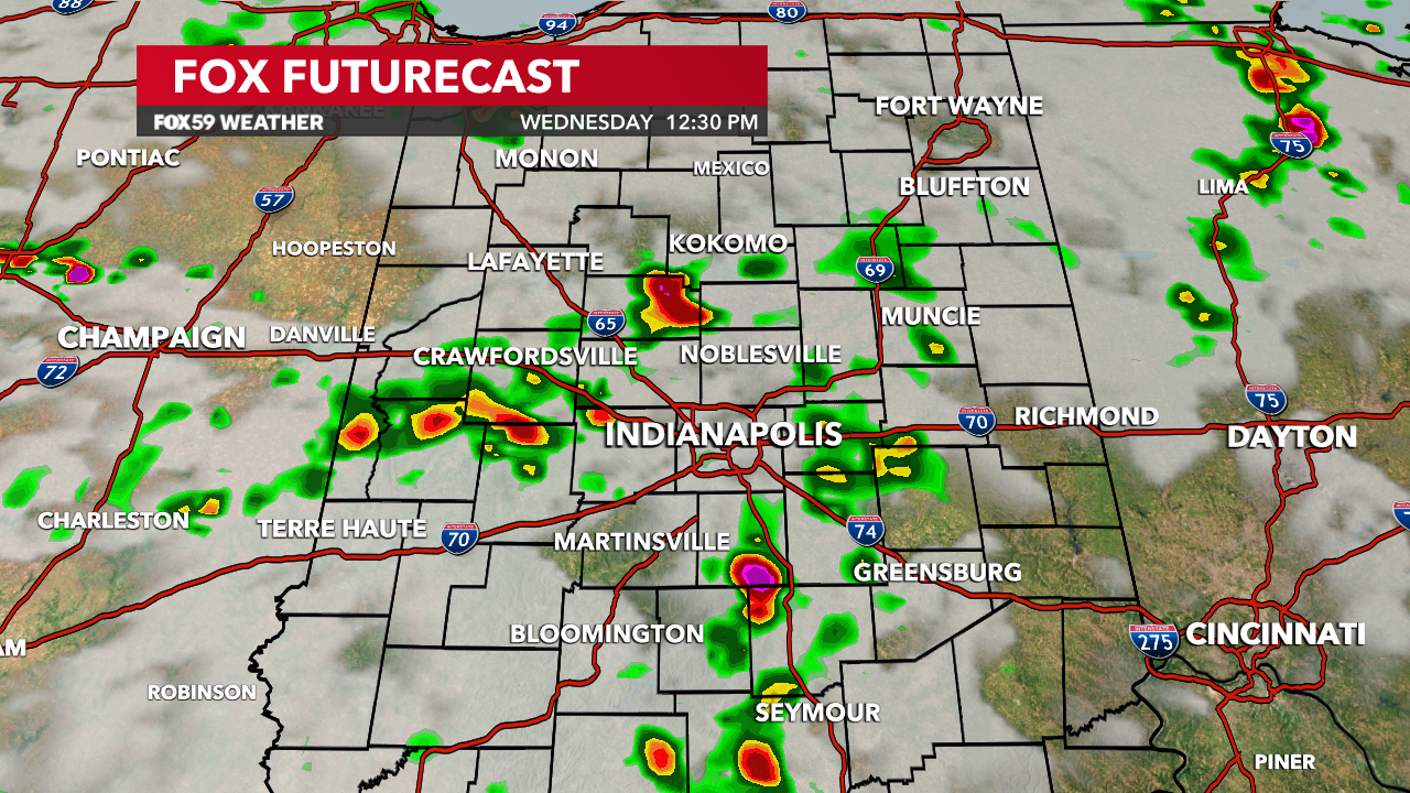
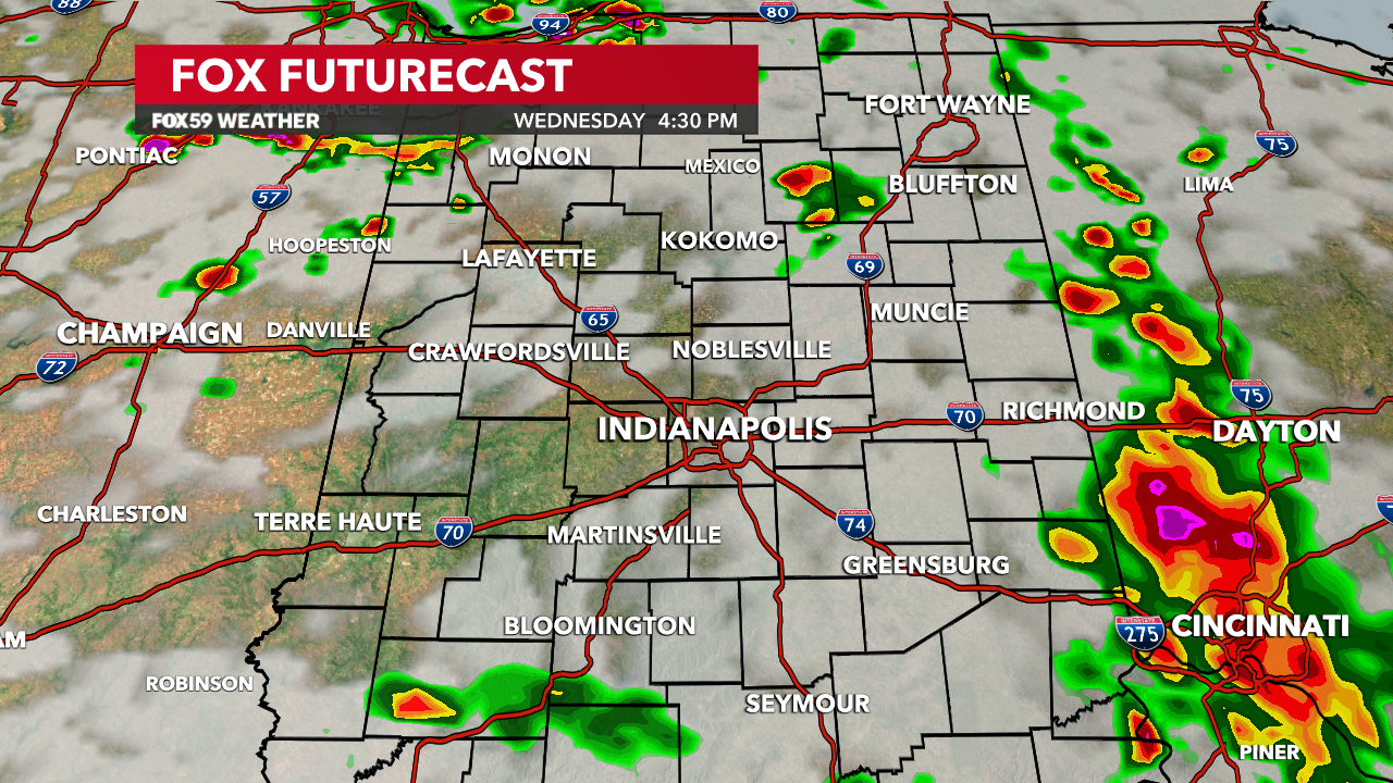
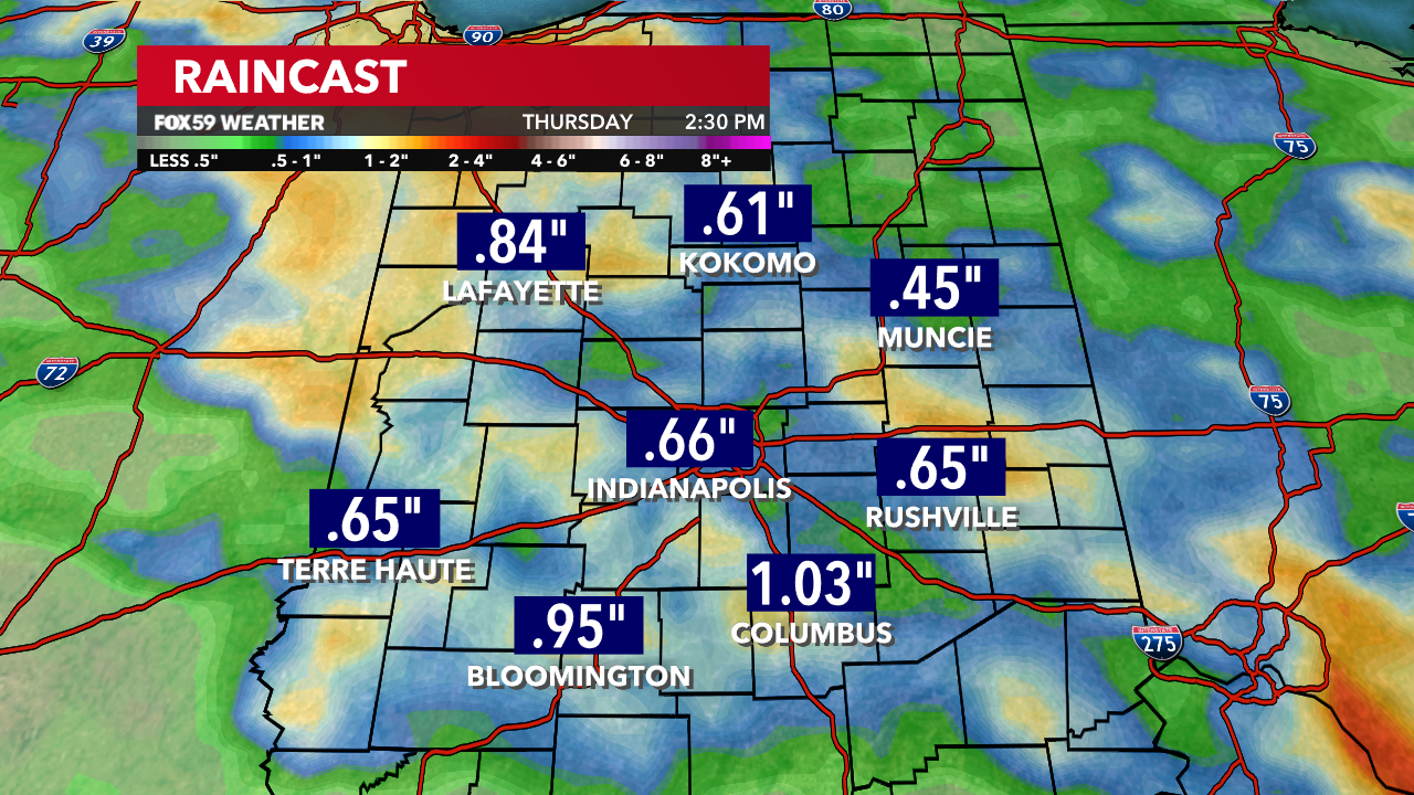
Rain chances diminish on Thursday as the pattern stabilizes and warmth returns for the weekend. October will open unusually warm, with highs in the 80s and plenty of sunshine.


Comments are closed.