
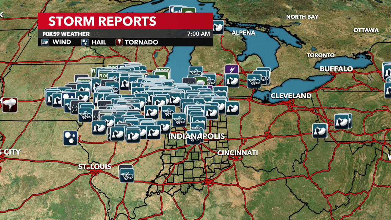
A severe squall line developed in eastern Iowa Monday afternoon, strengthened as it traveled across northern Illinois during the evening, and brought damaging winds to northwest Indiana overnight. There were several wind damage reports across the northern half of the state, along with numerous power outages in central Indiana.
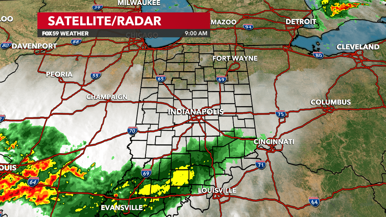
As the storms moved southeast over the area last night, the line started to weaken. Most of the shower activity has pushed southeast out of central Indiana at 9 a.m. Skies remained rather cloudy after the rainfall moved out with lows in the upper 60s and lower 70s.
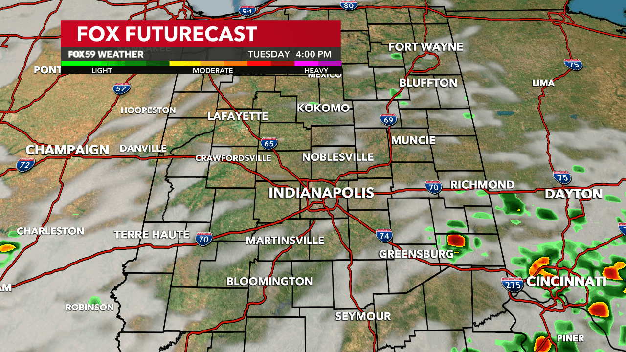
Skies are going to be mostly cloudy through midday and this afternoon. However, more storms are expected to fire up late in the afternoon. The storms will first impact our southwestern counties with the coverage increasing by 8 p.m. to 9 p.m.
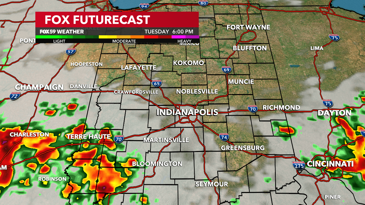
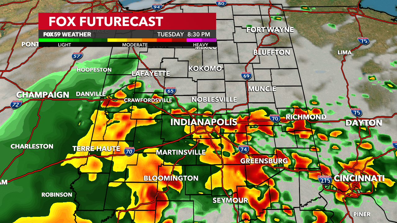
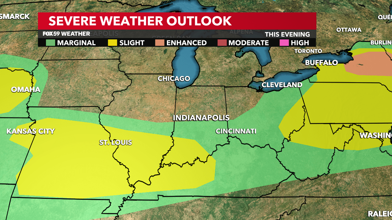
The thunderstorm activity will develop ahead of an approaching cold front. An isolated strong to severe storm is possible with the primary threat being damaging winds. Heavy rain is also a concern, which may result in flooding in our southern counties.
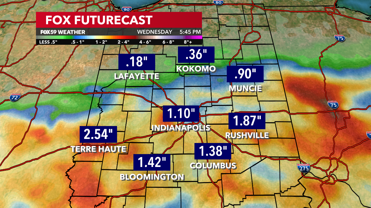
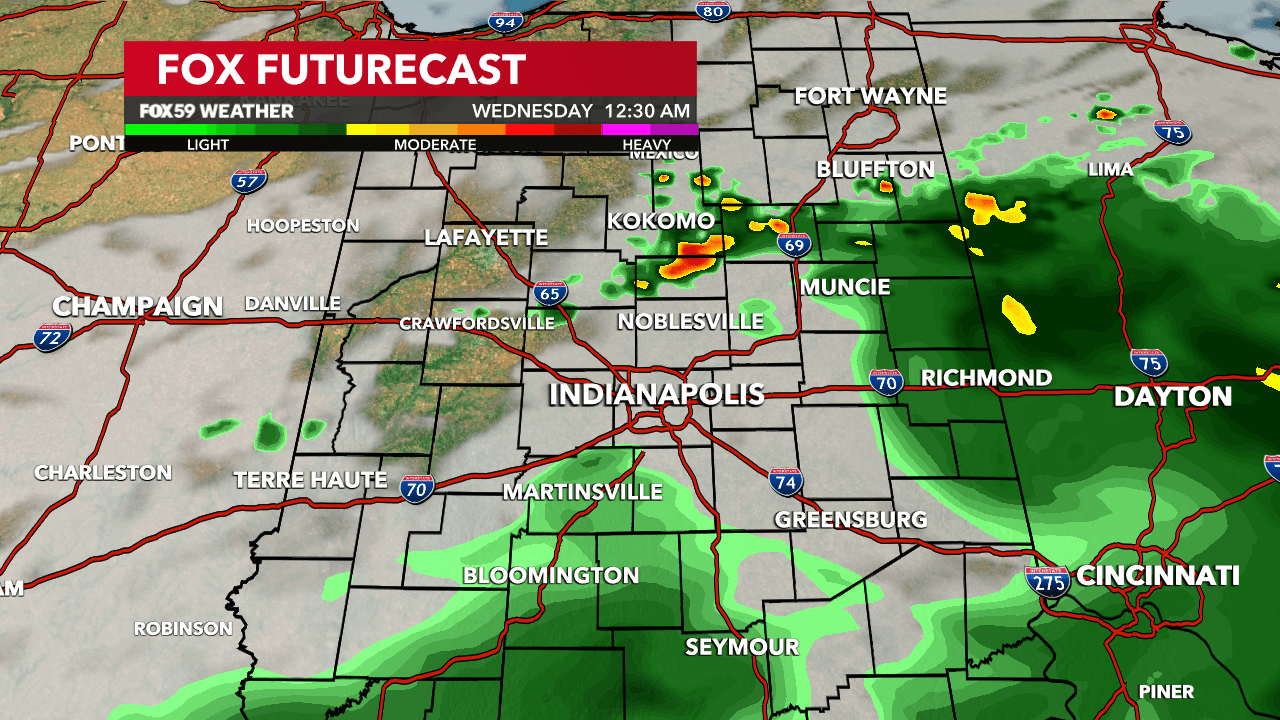
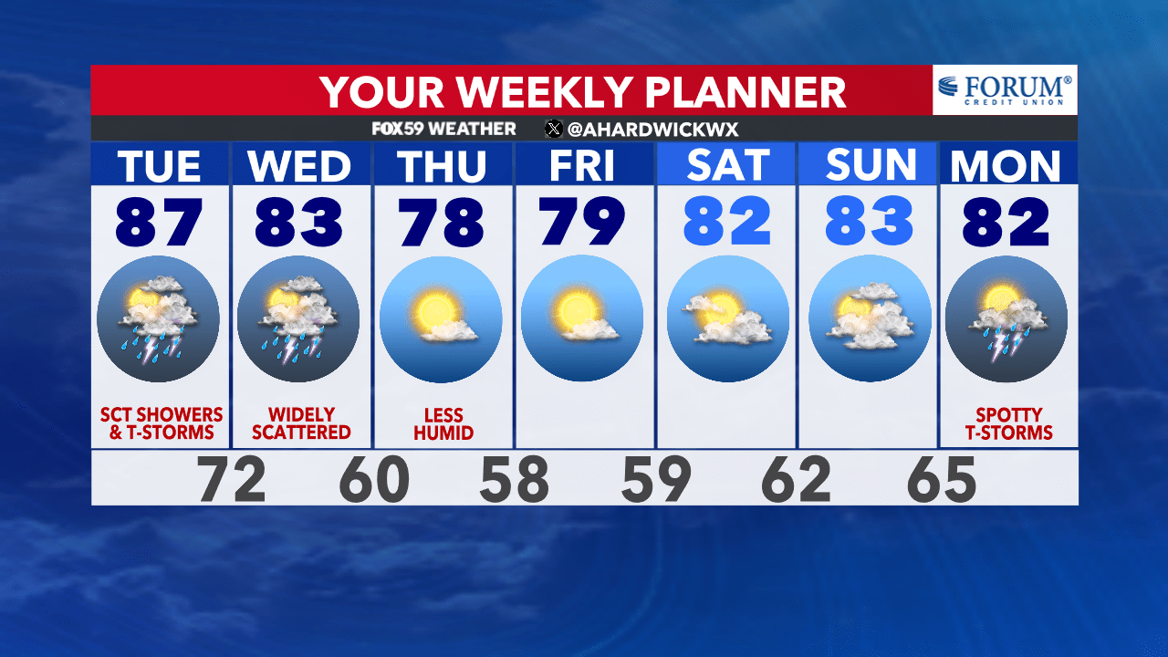
Rain and storm chances will continue tonight and into Wednesday morning. The area will begin to dry out by Wednesday afternoon as dew points sharply drop in the evening. Temperatures are going to be slightly cooler with highs in the lower 80s.
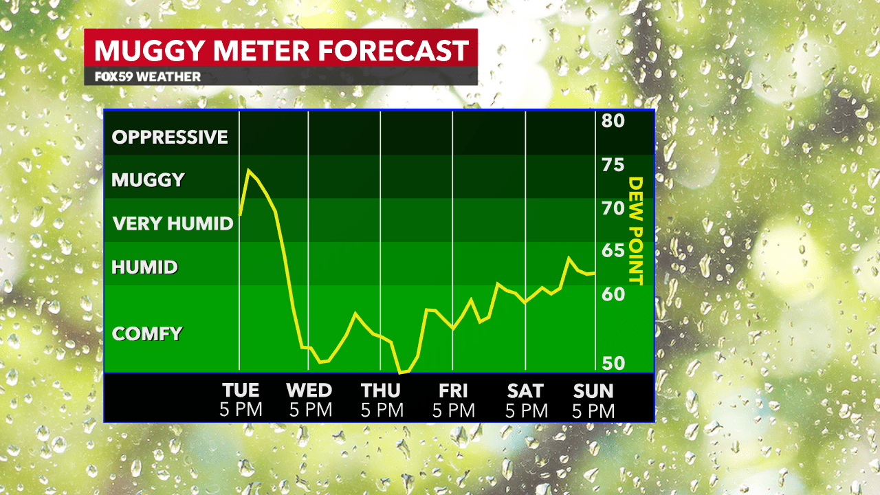
Are you ready for a refreshing change? The weather on Thursday and Friday looks ideal with a high-pressure feature sliding into the Great Lakes region. We are going to have mostly sunny skies, comfortable weather conditions with highs in the upper 70s!
Comments are closed.