Tracking light, wet snow today; brighter, colder weekend ahead.
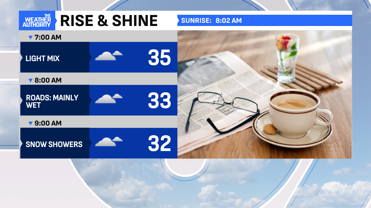
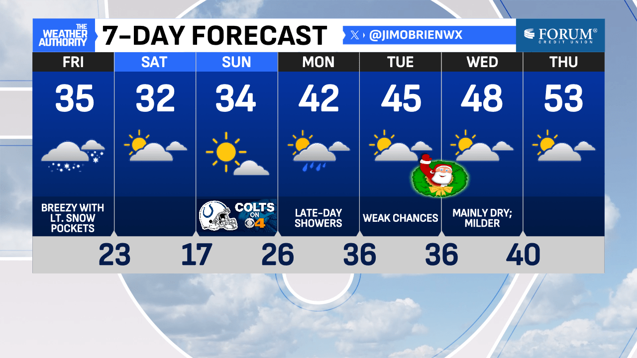
Steady pockets of wet snow will continue off and on through the morning, as temperatures hover just above freezing. This will result in wet, not icy, roads, for most, during the morning rush hour, creating a better scenario to wrap-up the workweek! Best accumulations will be north of downtown, in the grassy areas and under 1″, at best, through the late morning!
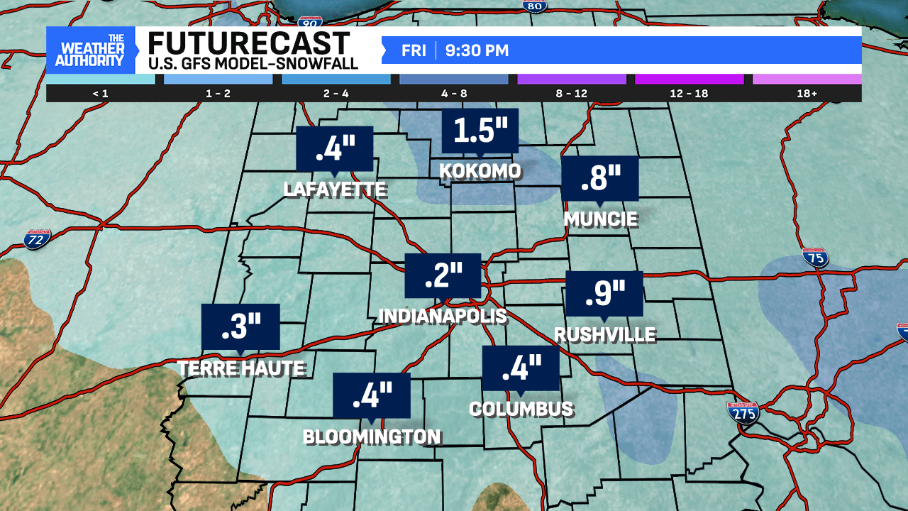
This afternoon will bring additional snow showers, as temperatures return to the middle 30s. Breezy, northwest winds will add to the chill with gusts up to 30 mph. A colder day and a bit unsettled brings a winter feel.
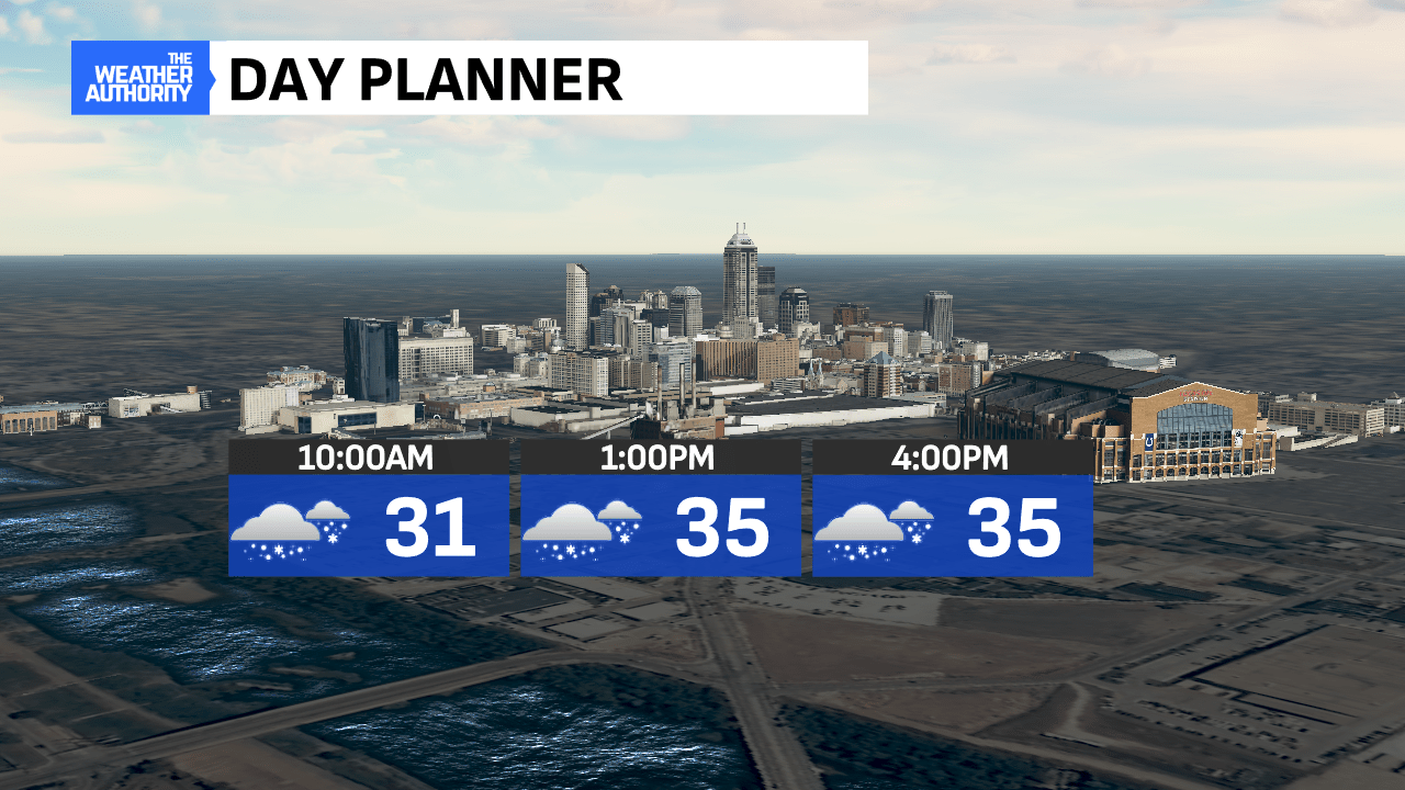
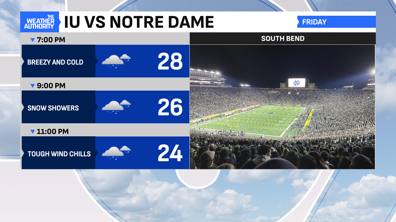
This evening will be mainly dry with passing flurries in central Indiana. If you are traveling north for the IU/Notre Dame game, expect a few slick spots but nothing too serious on US 31, of course, driver dependent!
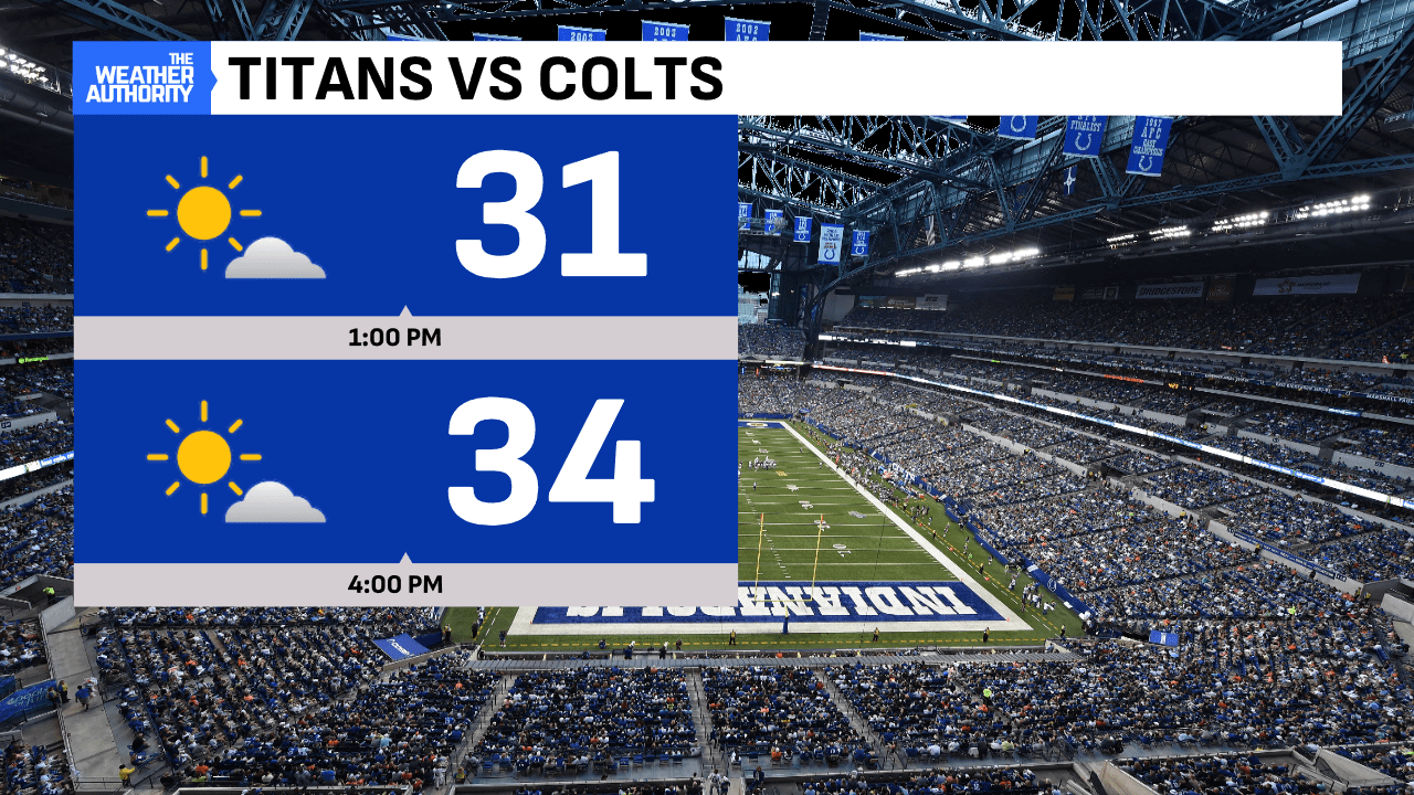
This weekend brings increasing sunshine but chilly air both days! A warming trend begins early next week with limited rain chances through Friday!

Comments are closed.